Axe Edge Moor is a high moorland on the west of the Peak District. It has a trig point and is very popular. The moor is large and best known as the source of several rivers, the River Dove, River Manifold, River Dane, River Wye and River Goyt.
The ‘Ethels’ are 95 hills in or on the fringe of the Peak District, mostly over 400 metres height. They were named ‘Ethels’ in 2021 by the Peak District and Yorkshire Branch of the Council for the Preservation of Rural England. a countryside charity, as a tribute to Ethel Haythornthwaite.
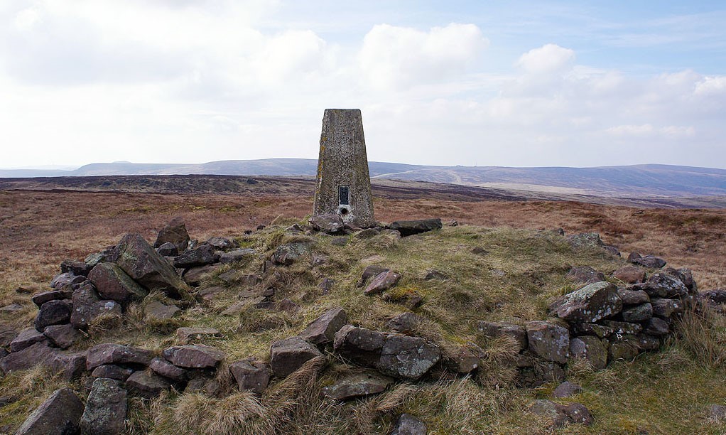
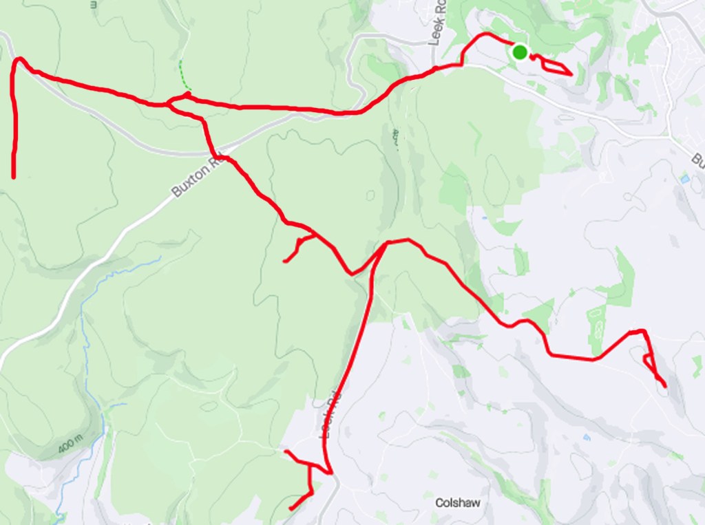
Over half of the Ethels are long established trig points. This Geocross links summits close to a famous moorland pub. The Cat and Fiddle Inn is the second highest pub in England. For peak-baggers this Geocross visits 4 Ethels on the west side of the A53 Buxton Leek road.
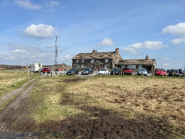
The Cat and Fiddle was closed in 2015 but may reopen.
It was built as a coaching inn in 1813, on the Cat and Fiddle Road which links Buxton to Macclesfield. The road is notorious for severe weather, lots of sharp corners and unfortunately, accidents. Motorcyclists regard this road as a challenge to their skills.